The Trail to Schönleitenspitze (2,810 meters)
July 22, 2025 · Vacation in Austria · By Ralf
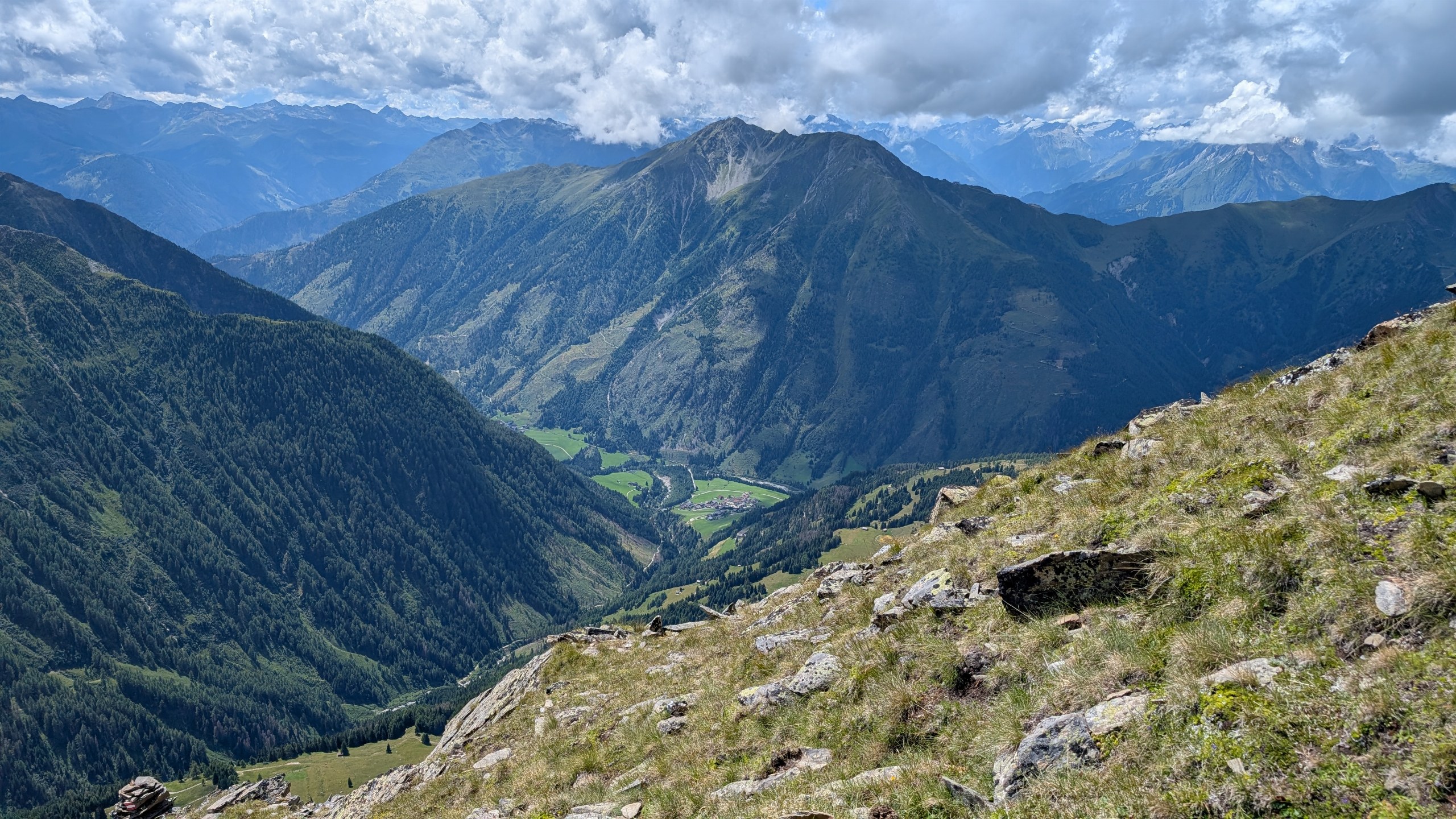
Green meadows, a herd of cows along the path, and a summit cross high above the Kals Valley—our hike to Schönleitenspitze offered plenty of variety. The landscape shifted constantly, transitioning from forest paths and open mountain slopes to a rocky final ascent. Throughout much of the hike, we were accompanied by expansive, sweeping views. The day also included an unplanned detour: after straying slightly from the trail, we had to climb a steep slope to get back on track.
On July 22, 2025, Lena, Felix, and I set off. We started in Unterlesach and ascended via the Lesacher Riegel toward Schönleitenspitze, reaching an altitude of approximately 2,810 meters. As we climbed higher, we left the trees behind. The meadows gave way to rockier terrain, and the final stretch led us over boulders up to the summit cross.
Reaching the top together was the highlight of our entire day. Lena, Felix, and I captured the moment with a photo at the summit. Afterward, our route took us via the Lesachalm and along the stream, leading us back down into the valley.
Be sure to pack plenty to drink for this hike. Especially during the long ascent—and on warm days—you should carry enough water for the entire loop. Plan for regular hydration breaks along the way, and don’t rely on finding a place to stop for refreshments to replenish your supply.
The red line on the map shows our complete route, making the path of the hike easy to follow. Particularly noticeable are the many tight switchbacks during the ascent to the Lesacher Riegel; the trail winds its way up the mountainside here before continuing toward the Schönleitenspitze. The contour lines provide a sense of the elevation gain between the valley and our summit destination.
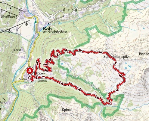
Source: www.kompass.de
After reaching the summit, we followed the path down to the Lesachalm. From there, we continued along the stream back to our starting point. On the map, this forms a large loop—we didn’t have to retrace our steps, allowing us to discover different facets of the mountain landscape on our descent.
Between forests and expansive meadows
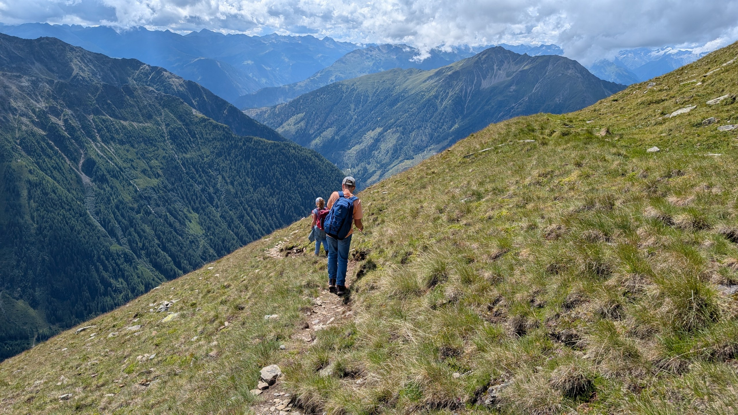
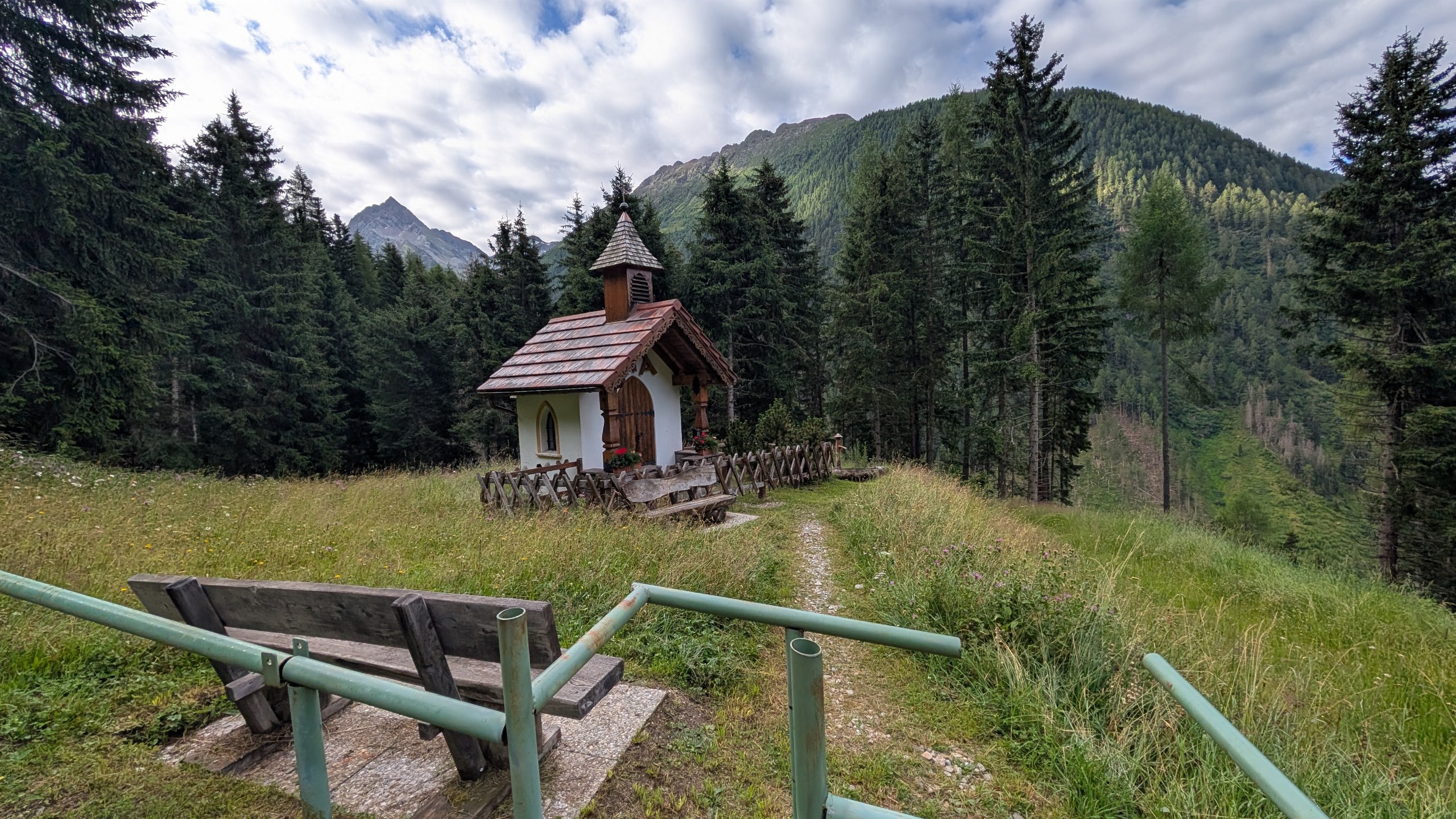 At first, our path was lined with trees, small huts, and a chapel. Then, the landscape opened up: the trail led across open slopes and through alpine meadows, while the steep flanks of the surrounding mountains towered on the opposite side.
In our photos, sunlight and the shadows of clouds alternate. At times, the meadows glow brightly; at others, entire mountainsides lie in shadow. The higher we climbed, the further our view extended—and the smaller the houses down in the valley became.
A herd of cows and an unplanned detour
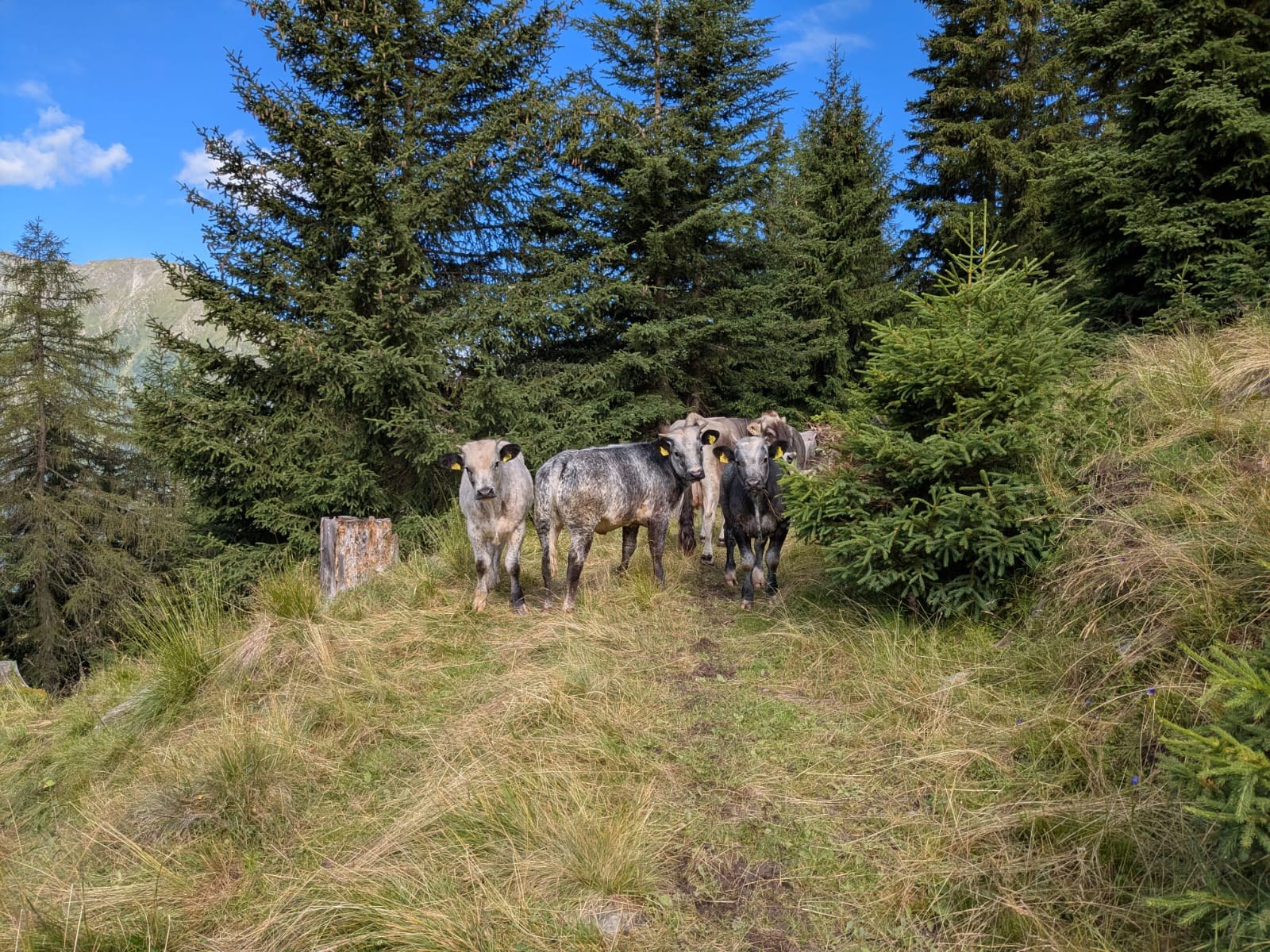
Along the way, we had to pass a herd of cows. The animals were standing at the edge of the forest, and naturally, we captured the encounter in a photograph.
We also strayed slightly from the path. To get back on the right route, we had to climb a steep slope. This extra ascent wasn’t planned—but it’s just as much a part of our hiking day as the beautiful views. Eventually, we were back on the right track and able to continue our trek.
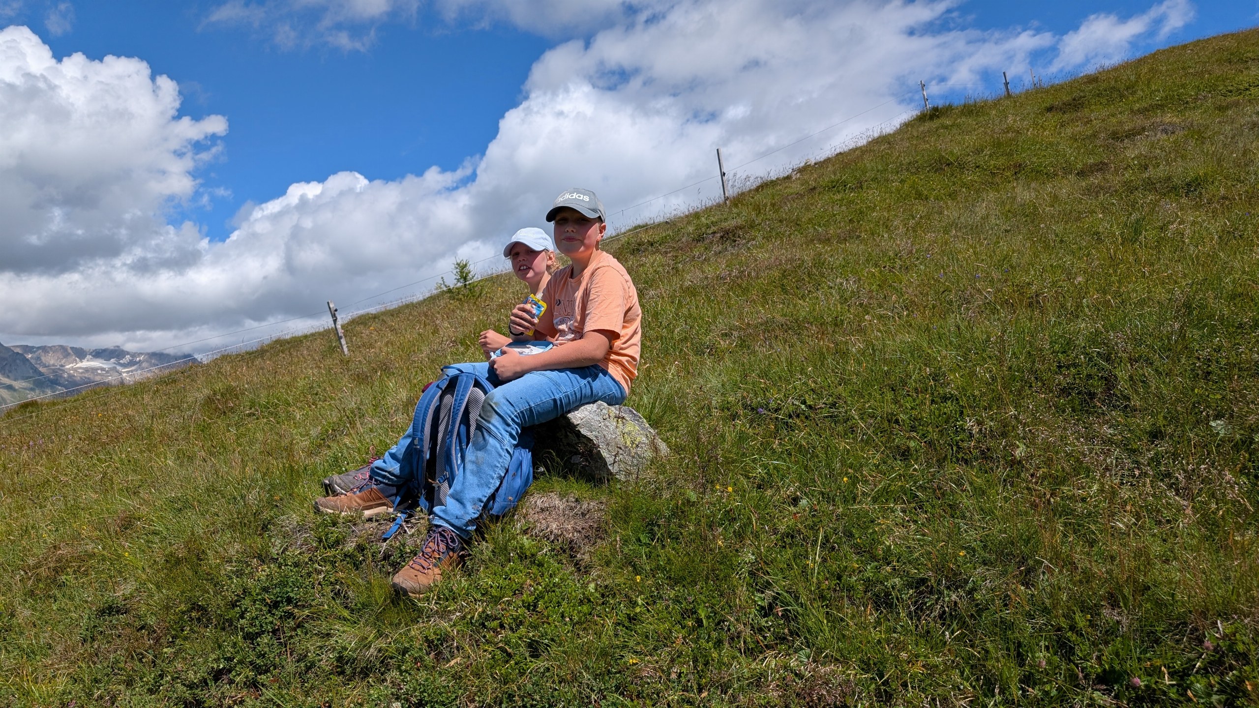
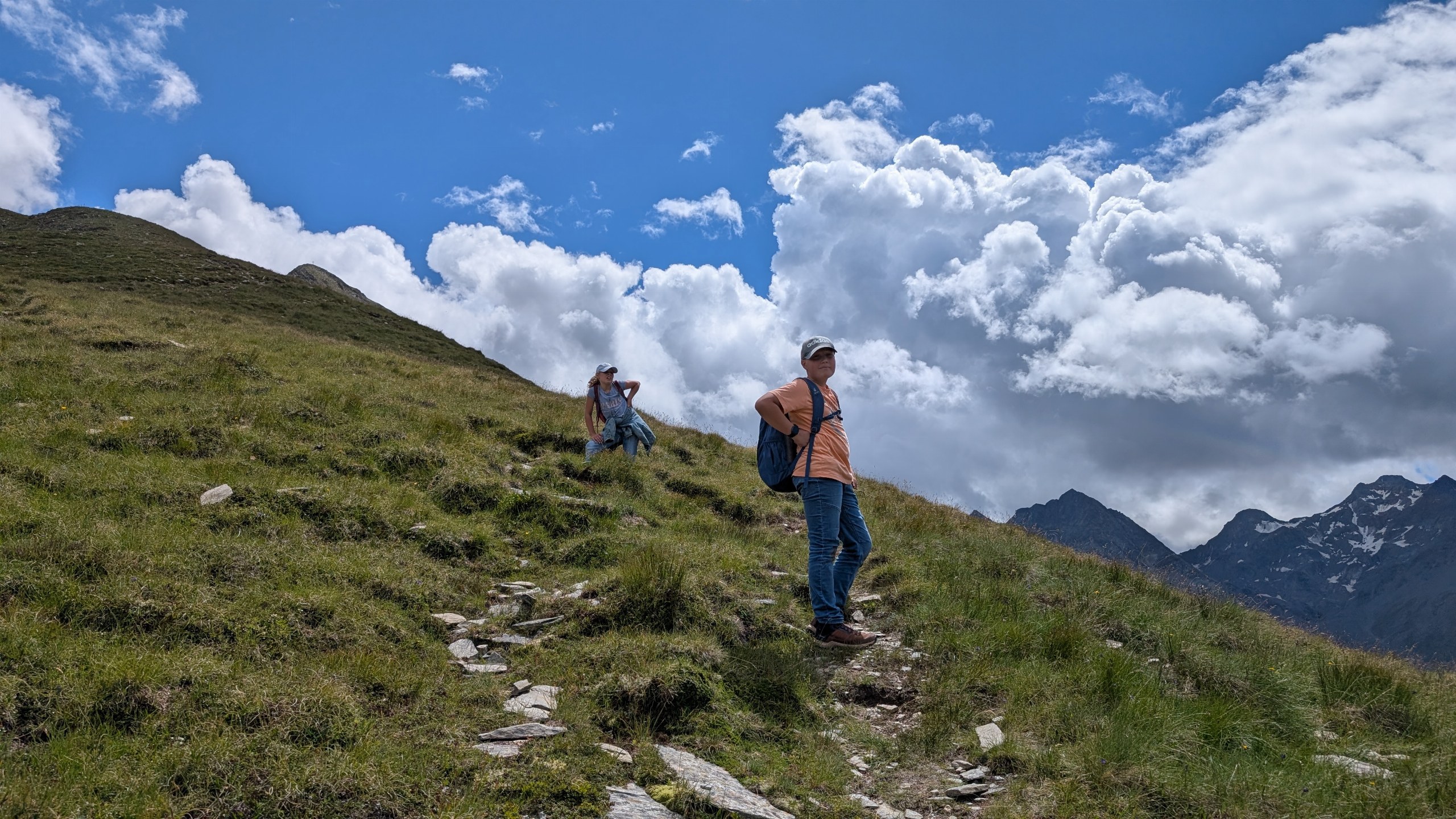
Sunscreen should also be part of your gear. On the open slopes above the tree line, there is very little shade. Remember to apply sunscreen before you set off, and reapply it along the way according to the instructions on the packaging. A hat and a pair of sunglasses are also helpful companions.
The final stretch to the summit cross
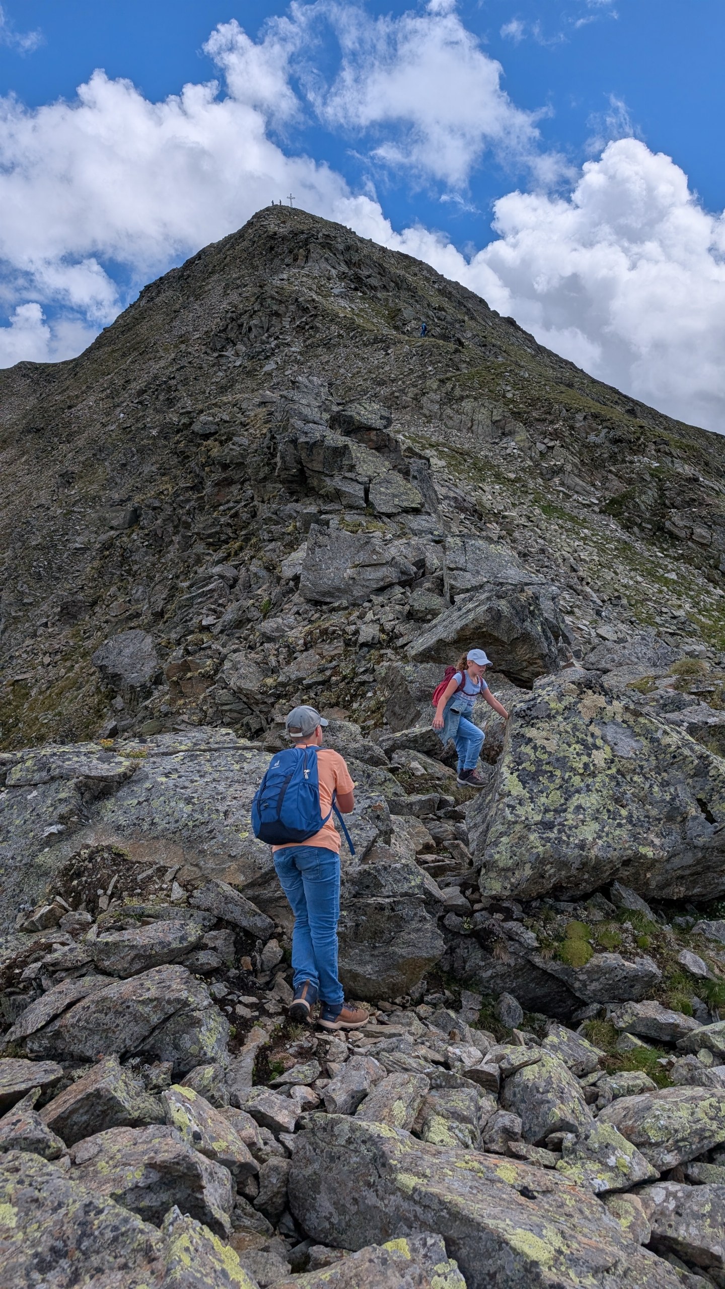
Higher up, the terrain began to change. Stones appeared among the patches of grass, and the final ascent led over rocky steps. In the vertical-format photo of the climb, you can clearly see the path winding its way upward through the rocks.
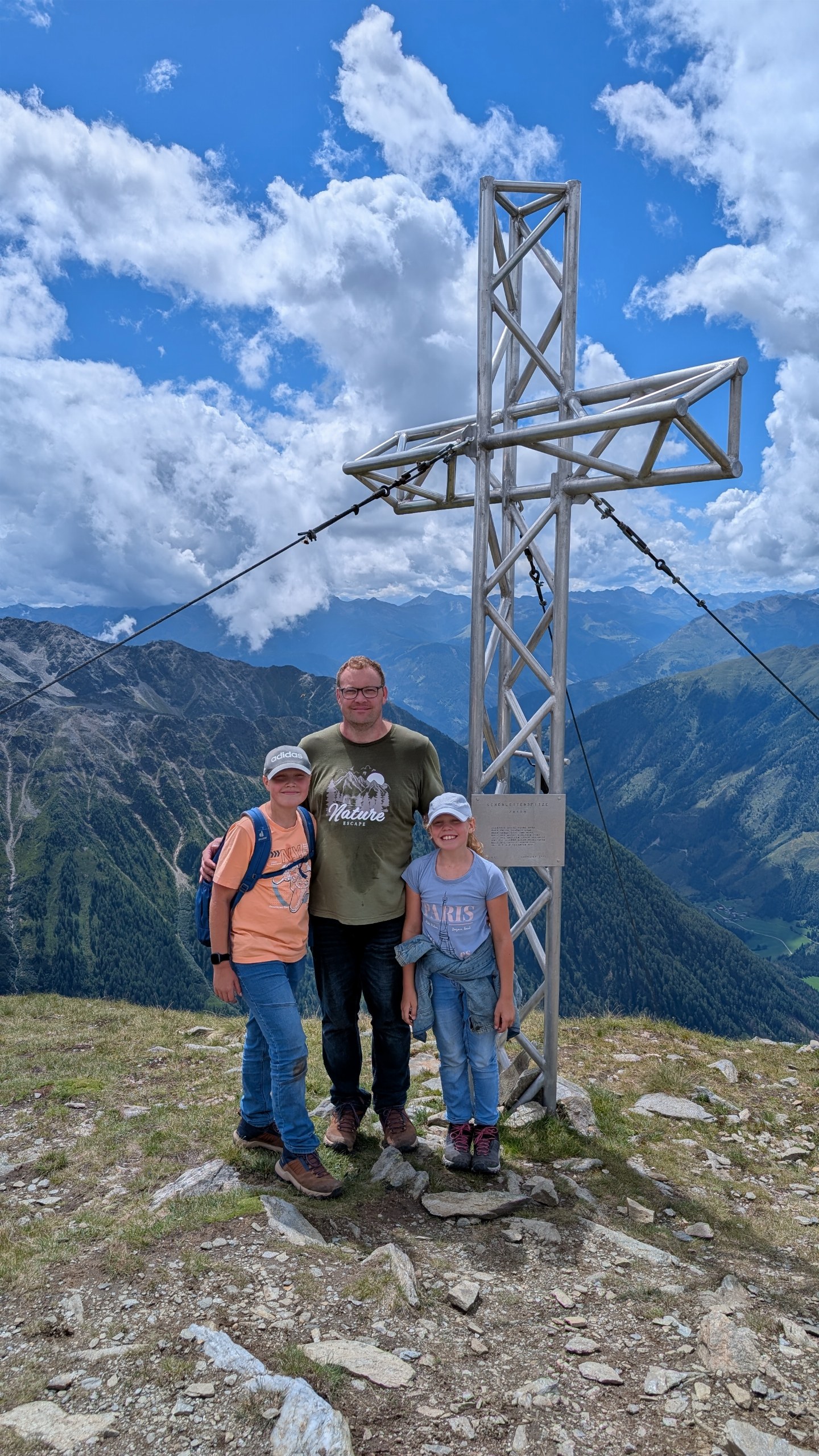
By the time I reached the summit cross, I was thoroughly drenched in sweat. Lena and Felix had set a really brisk pace during the climb—it certainly made me break a sweat! Standing up here together was, for me, the best moment of the day. Behind us lay the strenuous ascent; before us, a sweeping view across the mountains and down into the valley. Our group photo at the summit captures this moment.
Returning to the valley via Lesachalm
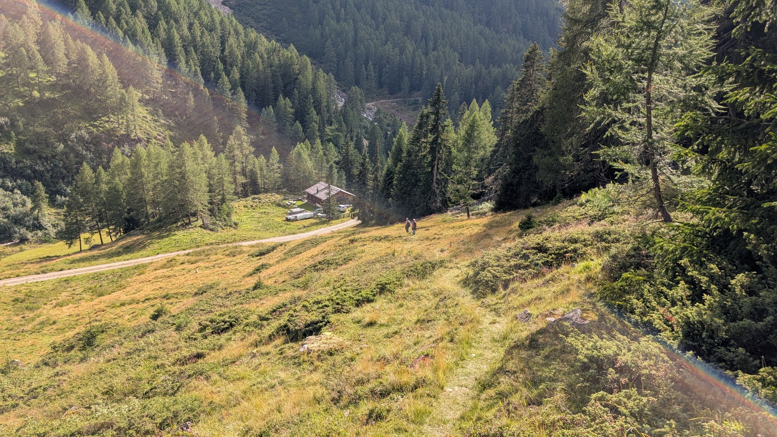
From the summit, we headed down toward Lesachalm. Once again, we were accompanied by open slopes and expansive views of the valley, which later gave way to forests and alpine meadows. The landscape transitioned from the rocky summit area back into lush greenery.
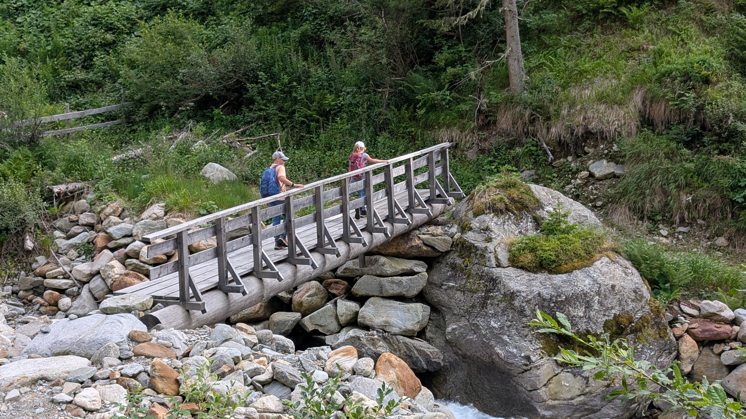
On the way back, a small bridge led us across a stony stream bed. The water foamed between the rocks—after the sweeping vistas from high up on the mountain, our focus shifted back to the smaller details along the path.
After the hike, we returned to our accommodation, then headed to an inn in Lesach for a meal. And so, our day of hiking together concluded back down in the valley. For us, reaching the summit was the best part—that moment remains the highlight of our excursion to Schönleitenspitze.
Good to know: Schönleitenspitze
Osttirol Tourismus lists the elevation of Schönleitenspitze as **2,809 meters**. The plaque on the summit cross, however, states **2,810 meters**—which is why we refer to it here as "approximately 2,810 meters." The summit offers a wide, panoramic view of the surrounding mountain ranges and the Kals Valley. [Source: East Tyrol Tourism]https://www.osttirol.com/aktiv-outdoor/wandern/bike-hike/detail/bike-hike-schoenleitenspitze-2809m).
The officially described circular route **starting from Oberlesach**—passing over the Lesacher Riegel and the Lesachalm—covers approximately **15.7 kilometers** with an elevation gain of **1,478 meters** and an estimated **eight hours of hiking time**. The route is classified as **difficult**. **We began our hike in Unterlesach; therefore, the figures provided refer to the official route and do not represent data recorded during our specific hike.** [Source: East Tyrol Tourism – Circular Route]https://www.osttirol.com/region-orte/alle-orte/kals/wandern/detail/lesach-riegel-schoenleitenspitze-2809m-lesach-alm).
Post updated on November 5, 2026.
Your thoughts
Comments 0
No approved comments yet.
Write a comment
Name and comment are required. Up to 5000 characters.